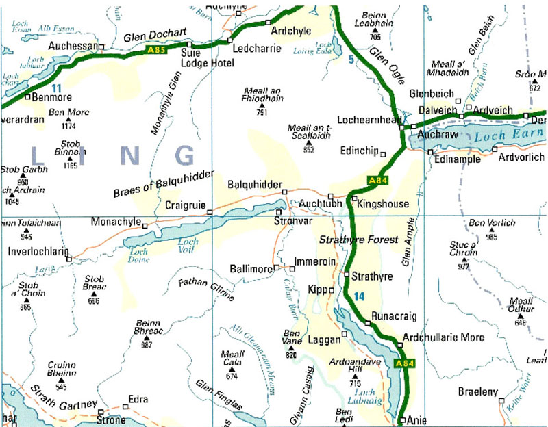
The map below can be found at the web site, http://www.streetmap.co.uk where you may locate other United Kingdom maps of research interest. This particular map is shown here for private use only to assist those STEWART researchers who are trying to better understand the current-day locations of the Highland home lands of the STEWARTS of Balquhidder, Ardvorlich, Annat, and Gartnafueran.

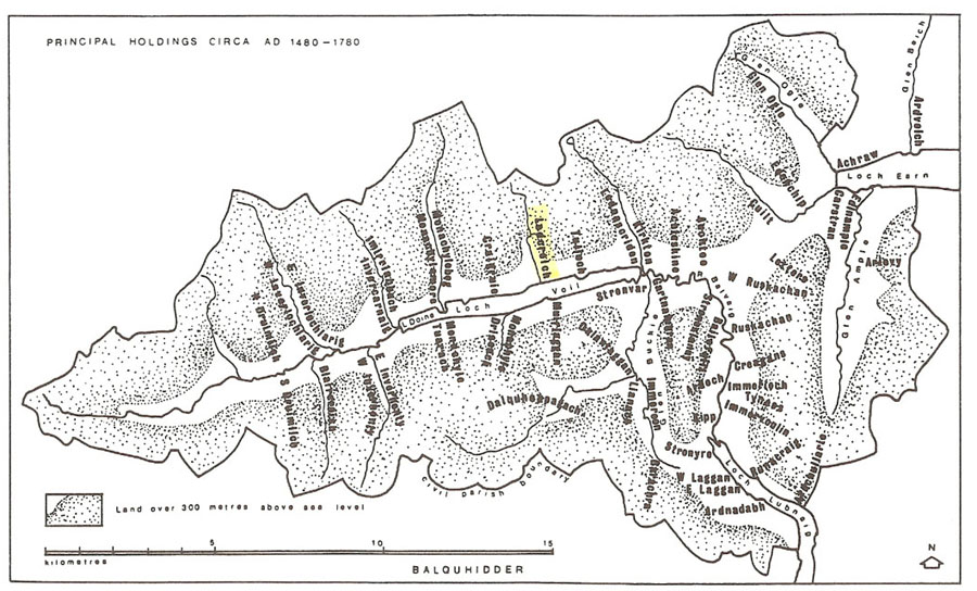
Below is a map of the early settlements of Balquhidder (1480-1780) as published in James Stewart's book, The Settlements of Western Perthshire-Land and Society North of the Highland Line (1480-1851.) This book is an excellent resource for anyone researching or studying the western corner of the Highlands in Perthshire, Scotland. The book is the result of ten years of research by the author of the areas of Loch Lubnaig, Strathyre, Balquhidder, Loch Voil, and the western end of Loch Earn. Although it is not a genealogy resource as such, it does provide numerous records of families that lived and worked in the area back into medieval times. Since Pentland Press, Ltd. went out of business, the remaining copies of the book are in the author's possession. It may be ordered by e-mailing James Stewart at seamusstewart@waitrose.com or writing to him at the following address:
'Bron Heli' 1 Bryn Eithin,
Llandecwyn,
Talsarnau,
Gwynedd,
LL47 6YF
U.K.
To view one of the earliest maps of Loch Earn and Balquhidder (ca 1600) by Timothy Pont, click here.